File:Map-MeasureDistance.jpg
Jump to navigation
Jump to search
The printable version is no longer supported and may have rendering errors. Please update your browser bookmarks and please use the default browser print function instead.
No higher resolution available.
Map-MeasureDistance.jpg (600 × 450 pixels, file size: 27 KB, MIME type: image/jpeg)
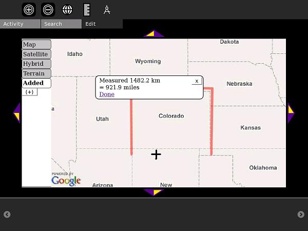
Measuring polyline distance in the Map Activity
File history
Click on a date/time to view the file as it appeared at that time.
| Date/Time | Thumbnail | Dimensions | User | Comment | |
|---|---|---|---|---|---|
| current | 18:38, 3 September 2009 | | 600 × 450 (27 KB) | Ndoiron (talk | contribs) | Measuring polyline distance in the Map Activity |
You cannot overwrite this file.
File usage
The following 2 pages use this file: